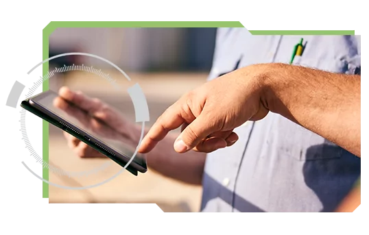
Use Taranis’ web and mobile applications to access insights and increase engagement with your growers.
A rich set of functionality allows close and meaningful communication with growers, optimized field management, and faster decision-making.

A rich set of functionality allows close and meaningful communication with growers, optimized field management, and faster decision-making.
With Taranis AcreForward™ applications, you can be sure that you get the insights you need at the right time. You have easy access through our web and mobile apps, and as a trusted advisor you have the freedom to share and give direct access to your growers. This creates 360 degrees of engagement year-round.
The Taranis insight dashboard provides you with an intuitive interface to access information on your growers and their fields. Using the dashboard, you can sort and filter to view your most relevant fields, prioritize those that require attention, and confirm the results of actions taken.
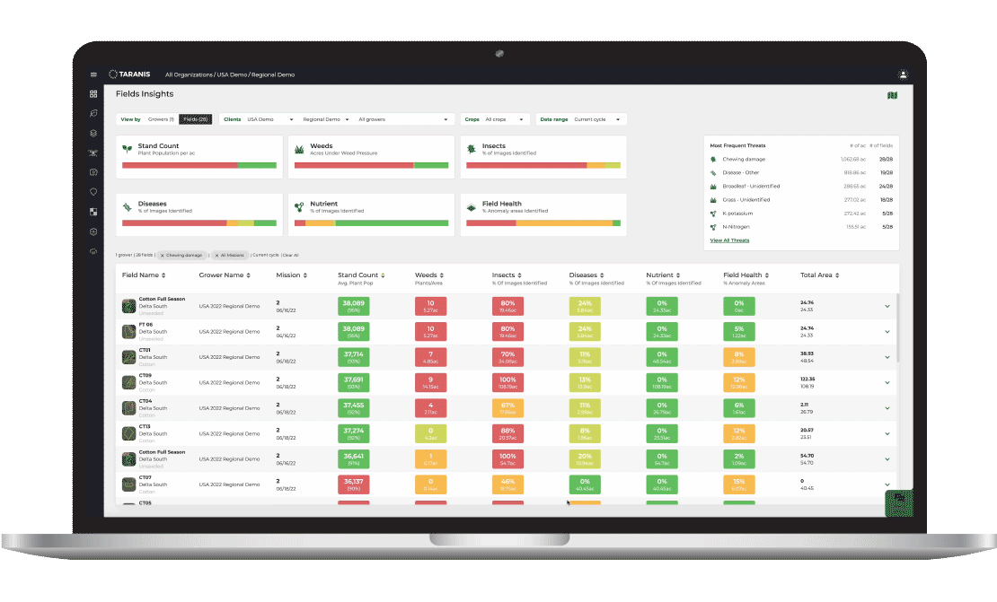
Use the data provided by Taranis to improve nearly every aspect of crop management: service fields that require the most attention, create prescription plans to apply the right product at the optimal rate and timing, validate the results of actions taken early in the season, or draft an effective field management plan for the next growing cycle.