


BRAND EXPERIENCE & DIFFERENTIATION
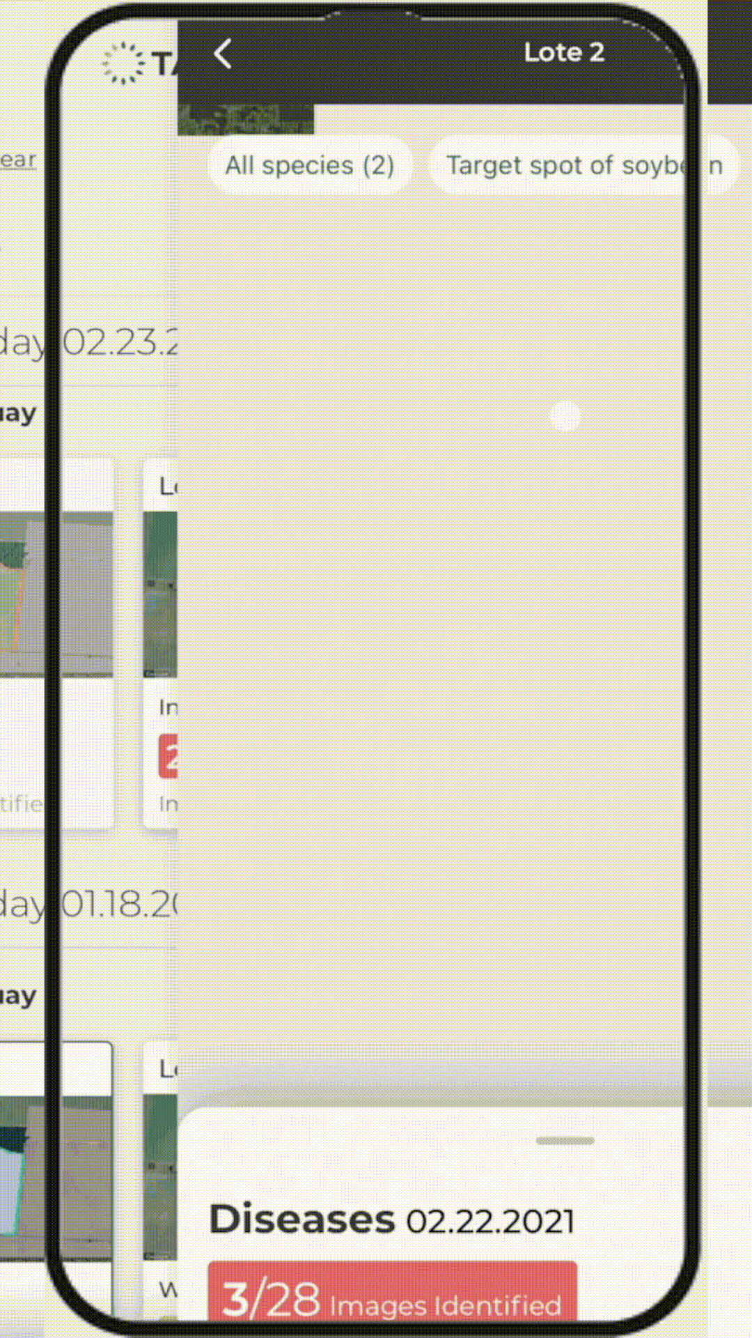
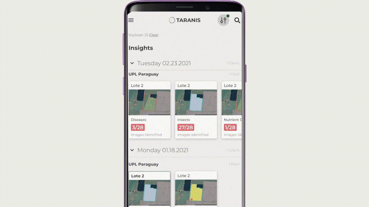
SmartScout™ and Taranis CONNECT™ empower you with the knowledge and insights about your growers and their crops. Simply put, you set the pace and the competition will never catch up.
UNBIASED & TRUSTED ENGAGEMENT
You’re not just another sales call. You’re the trusted advisor he’s waiting to hear from, and reaches out to, because SmartScout™ gives you something worth talking about.
TARGETED SOLUTIONS INCREASE
RETAILER & GROWER PROFITABILITY
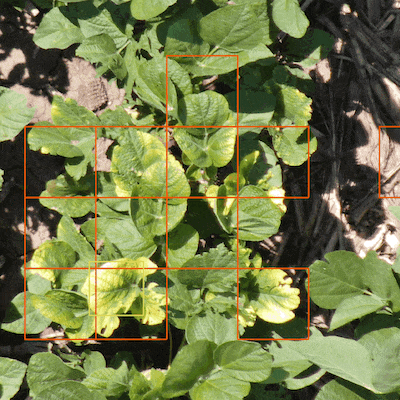
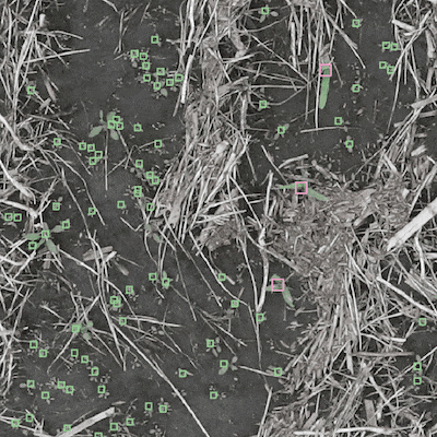
One size never fits all. Now you can bring more precise inputs that are specifically tailored to the issue at hand. The right solution means more profit and opportunity.
BRING SCALE TO YOUR TEAM
Cover more ground with your sales agronomy team. Scout from anywhere, anytime. Know where to go — prioritize grower fields requiring the most urgent attention.